
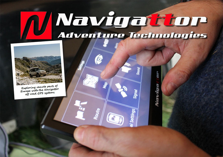
Navigattor have developed a unique range of GPS Navigation devices that support both on road and off-road navigation.
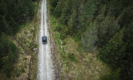
Off road GPS Navigation with Navigattor Camel 8 V2. Everyone is by now familiar with normal GPS systems for road and route navigation, but these devices are not capable of assisting off road navigation, usually, on these devices any areas outside of the road networks are represented as blank space.This is where Navigattor devices are different. These devices consist of four primary components.
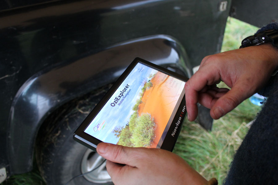
– a program, called OziExplorer for Windows CE
– a device (hardware) with touch screen and CPU
– a set of calibrated topographic maps
– a receiver which communicates with the satellites to give a position
Let’s look at these components in some more detail.
1.OziExplorer
OziExplorer is one of the most popular GPS navigation programs, and is made by an Australian company. The software was first launched for PC in 1997 and has recently celebrated its 20th anniversary. Originally the software was designed for journey planning and to plot routes with GPS receivers which could not display maps on their tiny screens, it allowed users to scan paper maps and then plan a route or to display a trip that had been completed over a map.
2. The Device
In 2000 an OziExplorer version was released for PDAs and Pocket PCs , this enabled users to have a portable device that could display location on an uploaded map while driving.
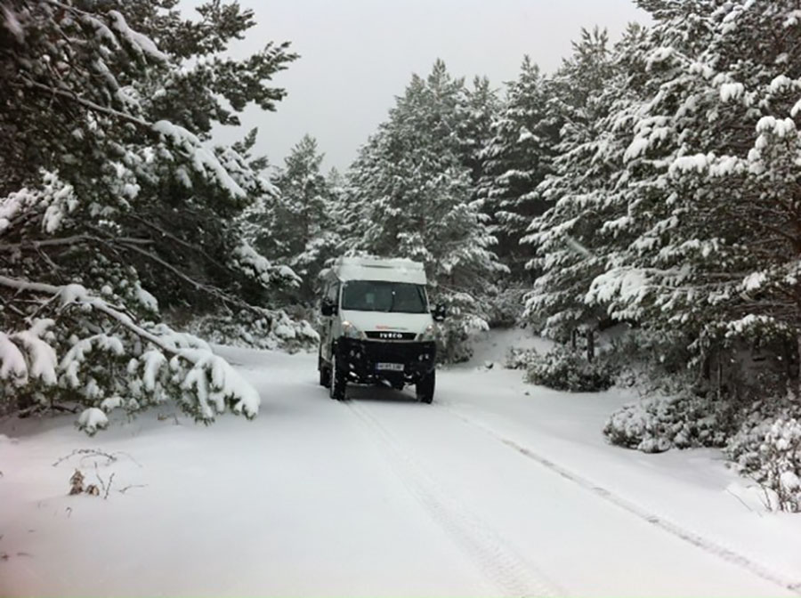
This is the point that Navigattor entered the equation and started developing their own solution. Navigattor devices are designed with the dual goals of being very reliable and of having a long operating lifetime.
The Camel 8 device was released in 2012 and was recently updated with a version 2 device. More than 1,500 of the units have been sold all over Europe, the USA and Africa.
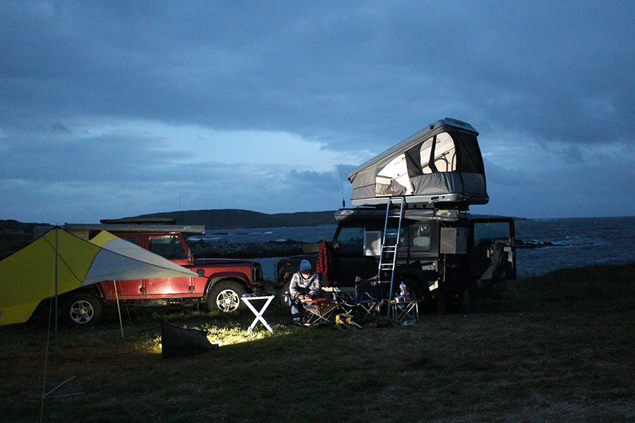
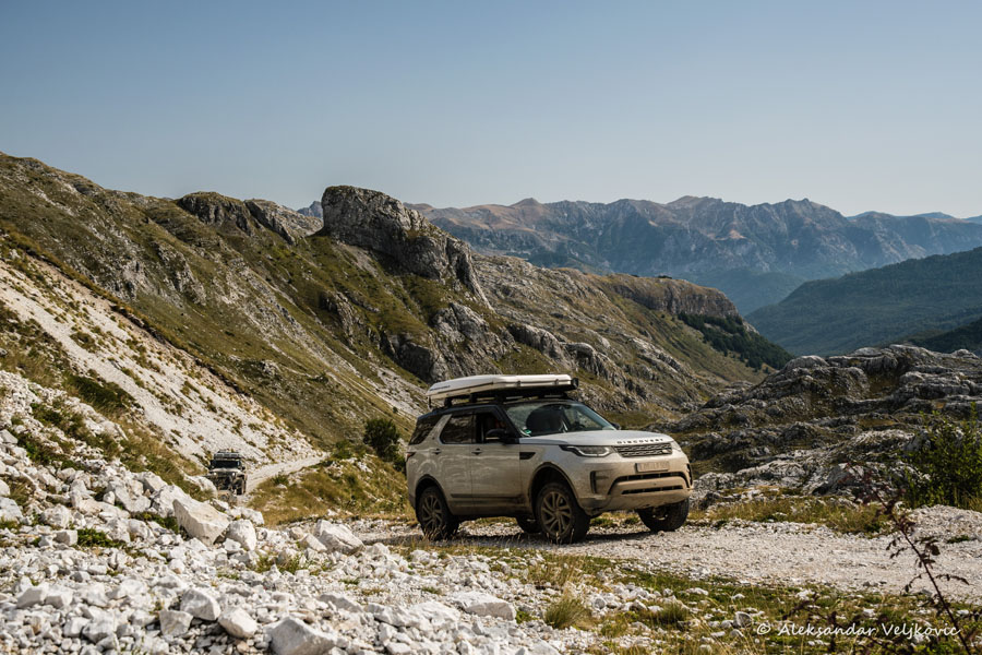
Most of Navigattor’s customers are overland travelers and explorers.
3. Topographic Maps
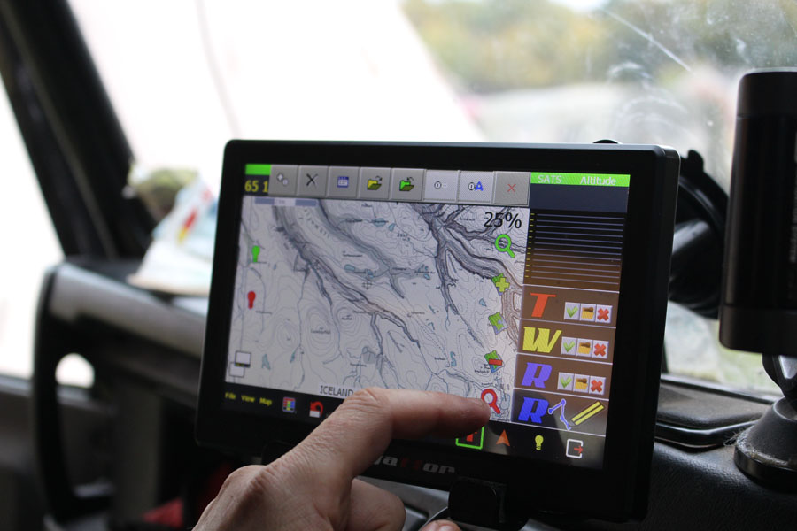
Based on the concept of using highly detailed scanned maps, OziExplorer only uses raster maps (not vector maps like most GPS systems). OziExplorer does not actually provide maps, but allows users to create or import maps from paper or from digital sources.
About Scale
Paper maps have a ratio relationship with reality which is called ‘scale’ . For example, one centimeter (or sometimes inch) on the map is equal to x kilometers (or miles) in the world. Since the density of pixels (the dots that make up an image on a computer or device screen) can vary a lot from one screen to another (pixels per inch) then the image appears to be stretched or shrunken accordingly. Therefore Navigattor devices now use the concept of ‘meter per pixel’ ratio.
4. The Receiver
It’s important also, to mention the receiver. The receiver itself measures 12x12mm (1/2”x 1/2”) and it has to have line of sight to the sky for optimum performance. This is one of the most significant differences between a smart-phone or tablet and a dedicated GPS device. No tablet or smart-phone has an upward facing antenna with a large receiving surface. In most cases, non dedicated devices have a GPS patch soldered on the back and the unit must be rotated to find the best reception.
If a vehicle has a shielded windscreen , the Camel 8 can also be fitted with a remote antenna, which is mounted outside the vehicle for optimal reception, however this is not normally required as the built-in antenna delivers a very strong signal.
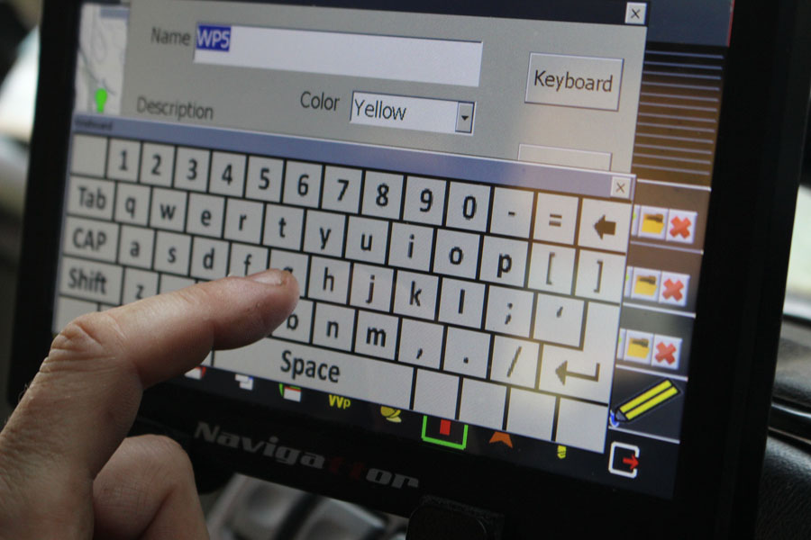
Way-point A way-point is a single location that is of specific interest to the person navigating. Way-points are located using co-ordinates which show a specific location on a map, locations that might be good way-points include intersections, crossroads, a specific tree, house , water source or a favourite hunting spot.
Route In off road navigation, a route can be determined using turn-by-turn instructions just like a normal road GPS, this is done by placing waypoints at every intersection or turn on a journey and when linked together these become a route. In other words, a route is a schematic way to outline the journey.
Track If you were to take a pencil and trace your journey on a map, following every bend and turn precisely, copying the exact path taken, this would be a track. A track enables you to measure the exact length of a journey, and can include mistakes and U-turns.
Navigattor have distributors located all over Europe where you can get access and see this top quality products. With distributors located in Spain, France, Germany, Belgium, Italy, Lithuania Portugal and Colegas. Click on the map below to find your nearest distributor or visit
https://navigattor.com for details on the range of navigational products
![]()


Hey I am from India, Just wondering does it support in India and Asia .. if it does I will be interested to pick up one . Thank you
Hi Sai, yes worldwide topographical and satellite maps are available. You can contact Navigattor Here http://navigattor.com/shop/en/contactanos I have emailed you their contact information also.
têm algum gratuido para poder analizar, preciso para Portugal e Marrocos